Concerned about the advent of “Christmas Winds”, we left Rodney Bay, St. Lucia, somewhat sooner than we had planned. But during our brief stay, we did have some fun. First, we took a maxi to and from the Caribbean Movie Theatre, where we saw the second Hunger Games. Second, acting on a suggestion from Sharon (Allegro), we went for lunch to “A Taste of India”, where we ordered the Chef’s Sampler. Four (!) different dishes, plus rice and flat bread and dessert. Not realizing what we were getting into, we each ordered the special. Oops! One order is enough for two, with perhaps an extra order of rice. The meal was fabulous, and we were told that the four dishes are changed every day. The special is served from noon until 4 PM. We highly recommend it! (Thanks, Sharon.) Third, we had our teeth cleaned at one of the few dental offices in the Caribbean that have dental hygienists. Normally it is done by the dentist and we find that they do a pretty quick and a not-so-thorough job. Fourth, we got our propane filled and lastly stocked up on provisions from the excellent grocery stores in Rodney Bay. (Some of these activities were more fun than others.)
For the benefit of our non-cruising readers, perhaps I should give a few words about Christmas Winds. Here are some excerpts from posting of Chris Parker, weather guru who provides advice to cruisers in the Caribbean. We are subscribers, and get our advice in emails, but he also provides his services via Single Sideband and webcasts.
========
Wx Update, E Caribbean, Wed4, 9am
SYNOPSIS:
Previously, I’ve detailed the mild weather we’ve seen in the past few
days in most areas, and I believe suggested folks make good use of
this mild weather, as it would not last forever, and may not be
repeated anytime soon.
Today it seems we’re on the cusp of what some might call the
“Christmas Winds”. There’s nothing tying these winds to any Holiday –
they’re simply strong ENE-E Trades, which tend to be persistent (over
days or weeks)…and they’re driven by a tight pressure gradient
between strong HI generally N/NE of Bermuda, versus lower pressures
over S America. Intervals of brisk ENE-E Trades can occur at various
times from now through May. So call the “Christmas Winds”, or
not…but they’ll be infecting various parts of E Caribbean in the
coming days …
Thur5
SYNOPSIS:
Some folks may call them the “Christmas Winds”. Whatever you may
choose to call them…strong Trades, driven by a persistently-tight
wind-gradient arrive in E Caribbean as FrontalTROF settles S-ward
along N Parts of E Caribbean about tomorow night…and gradually
shifting S to S Parts of E Caribbean by late Sun8-Mon9.
Although we may see an occasional 24-36he interval of slight
moderation (down to ENE@20-25/8’…for instance about Wed11 as a
ColdFRONT presses S&E in W Atlantic)…except for such brief intervals
of slightly-less-bad conditions, I see no break to strong Trades in
the next few weeks.
I’ve detailed this pending persistently-strong pattern I think for a
week-or-more, and with increasing clarity and forcefulness over time.
If you really really need to be somewhere at a certain time in the
next few weeks, you should consider getting there before the onset of
strong conditions, which may occur about 24hrs from now along N
Caribbean / about 48hrs from now in mid-part of Windwards/Leewards
Chain / 3 days from now S Parts of E Caribbean.
Fri6
SYNOPSIS:
Forecast models are in excellent agreement, and forecast confidence is
relatively-high…that we’re poised to enter an extended interval of
brisk ENE-E Trades/seas.
Long-range models suggest some moderation during the week of Mon23
(Christmas week), with periods of several consecutive days of brisk
ENE-E Trades/seas/squalls and several consecutive days of milder
conditions…beginning about Sun22 or Mon23.
Sat7
SYNOPSIS:
FrontalTROF near NE Caribbean supports strong, gusty, squally
conditions with large seas thru tomorrow…and drifts S slightly,
infecting more of E Caribbean tomorrow.
By the time FrontalTROF settles into SE Caribbean tomorrow night-Mon9,
it’ll be weaker, and conditions will not be as extreme as they are in
N Areas.
Mon9
SYNOPSIS:
Conditions become more-uniform throughout E Caribbean thru
tomorrow…as FrontalTROF continues weakening as it settles S-ward,
and all areas revert toward low-20s gusting toward 30k, from the E,
and with 8-10′ seas, and not many squalls.
Wed11-Fri13 morning gradually moderates (with greatest degree of
moderation N Parts of E Caribbean), but few areas settle much below
20k/7’…and there may be an increase in squalls some areas late
tomorrow persisting into Fri13, with wind/seas locally-higher near
squalls.
Late-Fri13-Sun15 wind/seas rebuild well into the 20s (seas 8-10′).
Mon16-Tue17 may look much like Wed11-Thu12, with conditions settling
some, but not becoming “mild” or even “moderate” by most definitions.
Next interval of “mild” or “moderate” conditions may be sometime after
Sun22.
Tue10
SYNOPSIS:
Except for a band of showers & squalls along very-South parts of E
Caribbean (which should dissipate later today)…E Trades are uniform
(and brisk) throughout E Caribbean today.
Most areas see some moderation to Trades/Seas tomorrow-Fri13, though
with some return of squalls in some areas.
S Half of E Caribbean may begin rebuilding throughout the day
Fri13…but N Parts of E Caribbean should see the mildest combination
of wind/seas during the day Fri13…as ColdFRONT presses S&E in W
Atlantic.
Late Fri13…ColdFRONT stalls & weakens, and allows pressures N of E
Caribbean to rebuild…boosting E Trades significantly beginning late
Fri13 (and earlier Fri13 S Parts).
S&E Parts of E Caribbean (ABCs / Venezuela / Trinidad / Windwards /
Leewards) all surge to extremely-strong conditions by Sat14 &
Sun15…then settle into low-20s gusting toward 30k with 8′ seas
Mon16-Wed18. VI-PR-DR also build Sat14-Sun15 and remain 20g25k/7’+
Mon16-Wed18.
Further moderation seems possible at-least for 1-2 days about Thu19.
Beginning in a few days, we’ll see a more-typical pattern gradually
establish…with the center of mid-Latitude HI pressure shifting to E
Atlantic…driving stronger ENE-E Trades in Tropical Atlantic (E of
Caribbean and also from Canaries WSW-ward)…and this should allow a
looser pressure gradient in W Atlantic (resulting in a significant
decrease from the persistently-strong Trades for E Caribbean).
This new pattern seems to result in persistently-milder conditions in
E Caribbean by about Mon23. This OUTLOOK is subject to change, but is
consistent with previous discussions.
=======
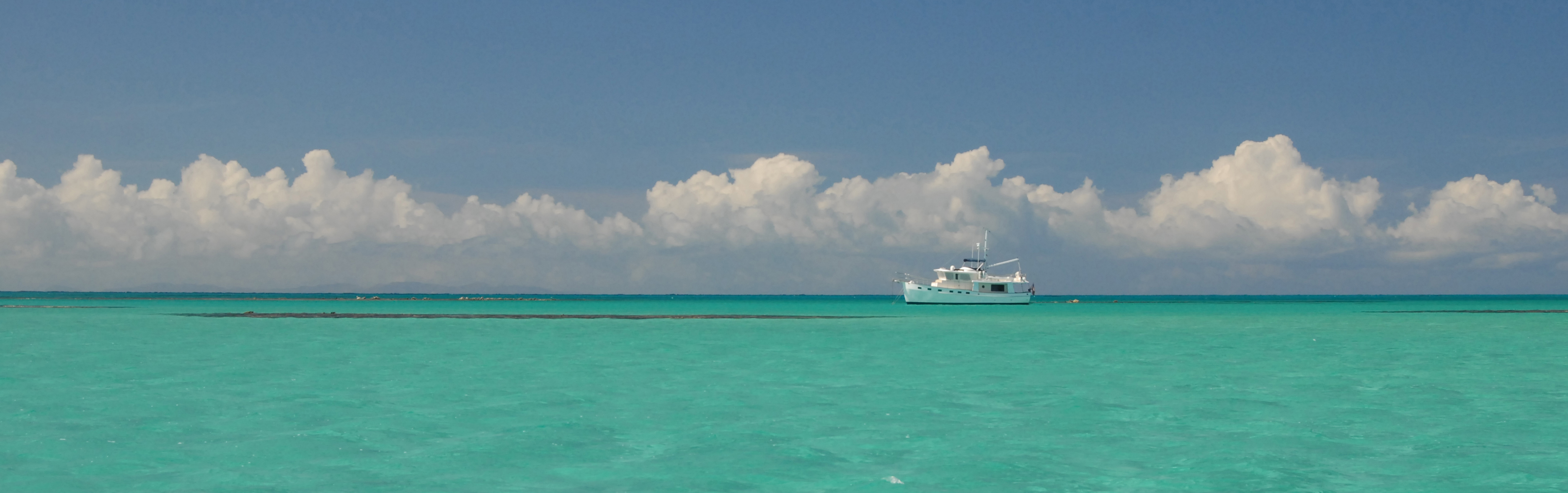
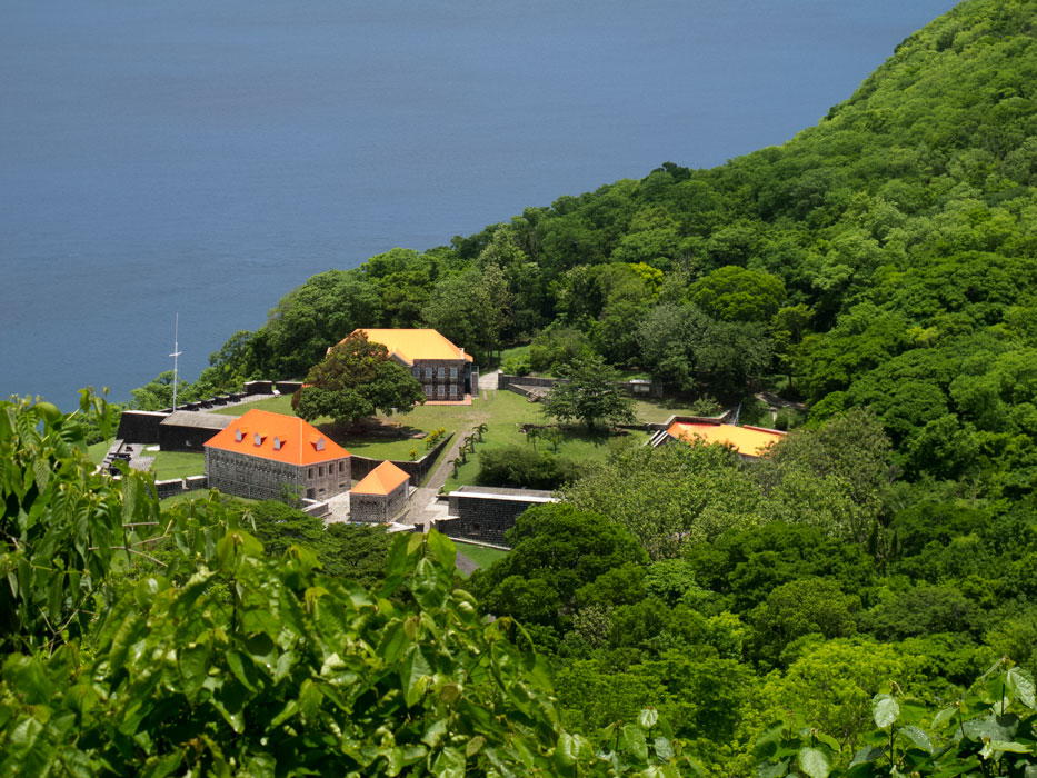
We left Rodney Bay on Dec. 5, and stopped at St. Pierre, Martinique, after a passage of some 43 nm. Next day we moved on up to Prince Rupert Bay, Dominica, a distance of 55 nm. To learn of our activities in Dominica, where we have been hunkered down ever since, see our next blog post.
Here are some pictures I took during those passages.
-

-
Shoreline along northern coast of Martinique
-

-
Approaching Mt. Pele / St. Pierre in Martinique
-

-
Power Station on Martinique’s coast
-

-
Approaching Portsmouth, Dominica
-

-
Panorama of northern coast of Dominica