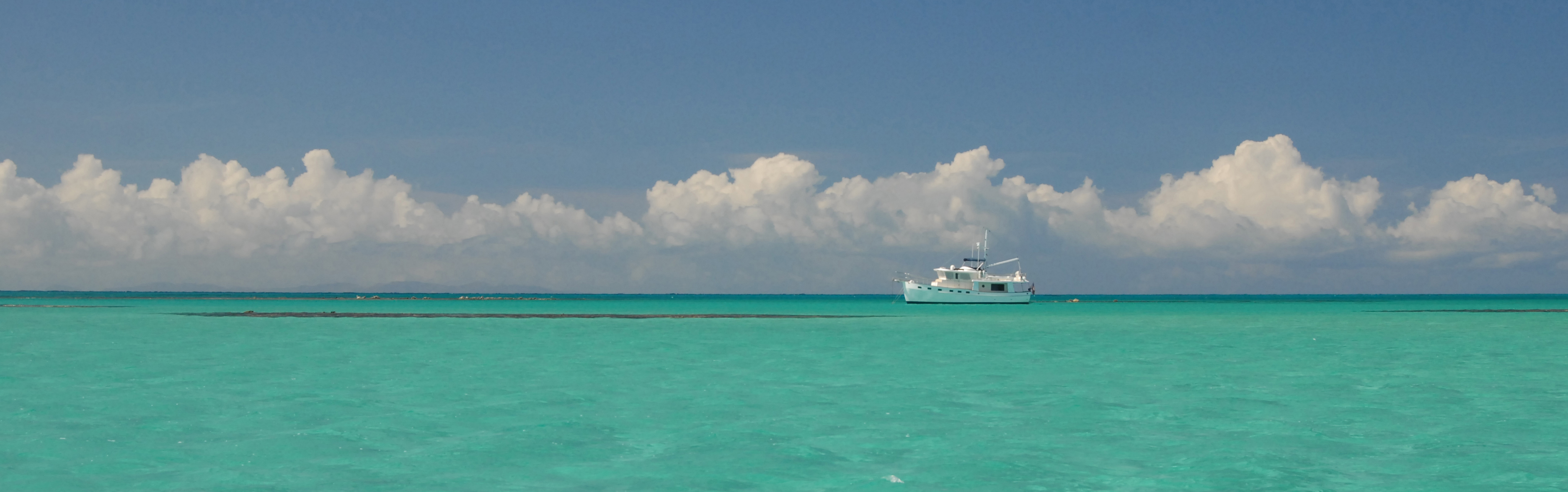
After enduring several days of cold and rain and/or clouds and wind, the forecast predicted a clear and sunny day for October 15. And so it was that Barb and I arose early and headed off to see some of the sites north of Flagstaff. As we were departing the Parks, AZ area we broke into an open area that afforded a nice view of Humphreys Peak. After stopping for a quick photo we continued on to Flagstaff where we took Highway 89 northward some 20 miles. When we reached the turnoff for Sunset Crater Volcano National Monument on our right, we instead turned left onto a gravel road that soon turned into a dirt road that displayed a sign reading “Warning! Not maintained for passenger vehicles!”. Nevertheless, we continued along the forest road that frequently narrowed to a single lane with a deep ditch on the left and a cliff to the right as it climbed uphill some 3 miles to the Lockett Meadow Campground at 8,600 feet. The campground is right near the Inner Basin trailhead, and Barb ventured up a few miles while I focused on the just-turning aspens.
-

- Humphreys Peak


-

- San Francisco Peaks

-

- Looking northward over the precipice
Our second destination was the Wupatki National Monument, which we reached by returning to Highway 89 and then driving through the Sunset Crater Volcano National Monument. We didn’t have time to stop at Sunset, but took consolation from having seen some of it back in June 2018. Click here for a reminder.
There is a very impressive Visiter Center in the Wupatki National Monument. Exiting out the rear door gives access to perhaps the most impressive of the ruins in the area.
From Wikipedia:
The many settlement sites scattered throughout the monument were built by the Ancient Pueblo People, more specifically the Cohonina, Kayenta Anasazi, and Sinagua. Wupatki was first inhabited around 500 AD. Wupatki, which means “Tall House” in the Hopi language, is a multistory Sinagua pueblo dwelling comprising over 100 rooms and a community room and ball court, making it the largest building for nearly 50 miles. Nearby secondary structures have also been uncovered, including two kiva-like structures. A major population influx began soon after the eruption of Sunset Crater in the 11th century (between 1040 and 1100), which blanketed the area with volcanic ash; this improved agricultural productivity and the soil’s ability to retain water. By 1182, approximately 85 to 100 people lived at Wupatki Pueblo but by 1225, the site was permanently abandoned. Based on a careful survey of archaeological sites conducted in the 1980s, an estimated 2000 immigrants moved into the area during the century following the eruption. Agriculture was based mainly on maize and squash raised from the arid land without irrigation. In the Wupatki site, the residents harvested rainwater due to the rarity of springs. The dwelling’s walls were constructed from thin, flat blocks of the local Moenkopi sandstone giving the pueblos their distinct red color. Held together with mortar, many of the walls still stand. Each settlement was constructed as a single building, sometimes with scores of rooms. The largest settlement on monument territory is the Wupatki Ruin, built around a natural rock outcropping. With over 100 rooms, this ruin is believed to be the area’s tallest and largest structure for its time period. The monument also contains ruins identified as a ball court, similar to those found in Mesoamerica and in the Hohokam ruins of southern Arizona; this is the northernmost example of this kind of structure. This site also contains a geological blowhole. Other major sites are Wukoki and The Citadel.
Wupatki Site


-

- Ceremonial Circle
-

- Returning from the Ball Court
Wukoki Site


