Golden Spike National Historic Site
The construction of the First Transcontinental Railroad, which linked the railway network of the Eastern United States with California on the Pacific coast began in 1863 at the terminal points of Omaha, Nebraska and Sacramento, California, and the two sections were merged and ceremonially completed on May 10, 1869, at the famous “golden spike” event at Promontory Summit, Utah.
We visited the Golden Spike National Historic Site on July 7, 2018, where we found an instructive visitor center and re-creations of the original steam engines that met at the summit.
The merger in 1869 created a nationwide mechanized transportation network that revolutionized the population and economy of the American West. This network caused the wagon trains of previous decades to become obsolete, exchanging it for a modern transportation system. The building of the railway required enormous labor in the crossing of plains and high mountains by the Union Pacific Railroad and Central Pacific Railroad, the two privately chartered federally backed enterprises that built the line westward and eastward respectively. There was an acute labor shortage when the railroads were begun, due to the Civil War and to the gold rush.
In the East, the effort started in Omaha, Nebraska by the Union Pacific Railroad initially proceeded very quickly because of the open terrain of the Great Plains. This changed, however, as the work entered Indian-held lands. The Native Americans saw the railroad as a violation of their treaties with the United States. War parties began to raid the moving labor camps that followed the progress of the line. Union Pacific responded by increasing security and hiring marksmen to kill American Bison, which were both a physical threat to trains and the primary food source for many of the Plains Indians. The Native Americans then began killing laborers when they realized that the so-called “Iron Horse” threatened their existence. Security measures were further strengthened, and progress on the railroad continued.
In the west, the Central Pacific Railroad made great initial progress along the Sacramento Valley. However, construction then slowed, first by the foothills of the Sierra Nevada, then by cutting a railroad bed up the mountains themselves. As they progressed higher in the mountains, winter snowstorms and a shortage of reliable labor compounded the problems. Consequently, after a trial crew of Chinese workers was hired and found to work successfully, the Central Pacific expanded its efforts to hire more emigrant laborers—mostly Chinese. Emigrants from poverty stricken regions of China, many of which suffered from the strife of the Taiping Rebellion, seemed to be more willing to tolerate the living and working conditions on the railroad construction, and progress on the railroad continued. The increasing necessity for tunneling as they proceeded up the mountains then began to slow progress of the line yet again. The first step of construction was to survey the route and determine the locations where large excavations, tunnels and bridges would be needed. Crews could then start work in advance of the railroad reaching these locations. Supplies and workers were brought up to the work locations by wagon teams and work on several different sections proceeded simultaneously. To carve a tunnel, one worker held a rock drill on the granite face while one to two other workers swung eighteen-pound sledgehammers to sequentially hit the drill which slowly advanced into the rock. Once the hole was about 10 inches deep, it would be filled with black powder, a fuse set and then ignited from a safe distance. Nitroglycerin, which had been invented less than two decades before the construction of the first transcontinental railroad, was used in relatively large quantities during its construction. This was especially true on the Central Pacific Railroad, which owned its own nitroglycerin plant to ensure it had a steady supply of the volatile explosive. This plant was operated by Chinese laborers as they were willing workers even under the most trying and dangerous of conditions.
Several miles from the historic site, we stopped briefly to look at a small “rocket garden” outside the buildings for the company ATK Thiokol. This is the company that used to make the rocket boosters for the space shuttle. There are many different displays of rockets including a shuttle booster and a Patriot missile. Each has an interpretive sign that explains what one is seeing and what it was used for. One won’t spend a lot of time here, but it is definitely worth the stop on the way in/out to/from the Golden Spike National Historic Site.
The Thiokol Chemical Company was founded in 1929. In the mid-1950s the company bought extensive lands in Utah for its rocket test range. In 1986 it was found at fault for the destruction of the Space Shuttle Challenger and the deaths of its astronauts.
-

- Banner at entrance to the visitor center
-

- Plaque at the site
-

- Barb exiting the visitor center
-

- Reconstructions of the two steam-powered engines that participated in the “golden spike” ceremony
-

- Colleen and Barb getting a closer look
-

- Smokestack on one of the engines
-

- Controls of the other engine
-

- Plaque on railroad tie
-

- ATK-Thiokol “rocket garden”
-

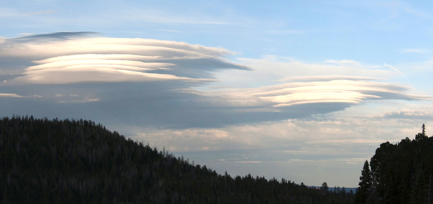
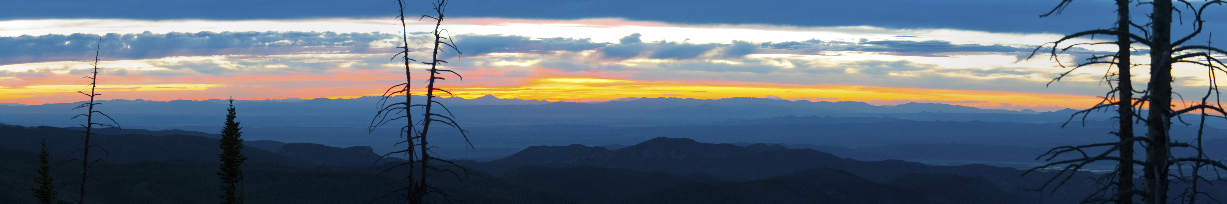
- Later at Village of Trees RV Resort, a smoke-painted sunset
City of Rocks National Reserve
City of Rocks National Reserve, also known as the Silent City of Rocks, is a United States National Reserve and state park lying 2 miles north of the south central Idaho border with Utah. It is widely known for its excellent rock climbing and rock formations.
The rock spires in the City of Rocks and adjacent Castle Rocks State Park are largely composed of granitic rock. We visited the area on July 9, hiking some of the winding trails at the base of the rocks, and also seeking out a shaded table for picnic lunch.
The City of Rocks is a popular rock climbing area, with over 1,000 traditional and bolt-protected routes. In the 1980s, it was home to some of the most difficult routes in the USA. Climbers in the region refer to the area as simply ‘The City’.
California Trail wagon trains of the 1840s and 1850s left the Raft River valley and traveled through the area and over Granite Pass into Nevada. Names or initials of emigrants written in axle grease are still visible on Register Rock. Ruts from wagon wheels also can be seen in some of the rocks.
City of Rocks was designated a National Reserve, a unit of the National Park Service, in recognition of the nationally significant geological and scenic values of its rock formations and the historical significance of the California Trail. Rock formations in the reserve developed through an erosion process called exfoliation, during which thin rock plates and scales sloughed off along joints in the rocks. The joints, or fractures, resulted from the contraction of the granite as it cooled, from an upward expansion of the granite as overlying materials were eroded away, and from regional tectonic stresses. The granite has eroded into a fascinating assortment of shapes as high as 600 feet.


-

- Brief rest on a walk-about
-

- Lunch in the shade
-

- Pioneers wrote on Signature Rock
-

- Ruts left by pioneer wagons
Twin Falls/Shoshone Falls
On July 12, we drove to the Snyder Winery, near Buhl, ID. Bill & Colleen had been there before, and had contacted her to see if we could park there overnight. Even though she would be gone when we arrived, she gave her permission. We picked up a rock to the bus windshield on the way. After calling to Boise to arrange for a repair the next day, we went to Twin Falls for dinner to celebrate Bill’s birthday.
Shoshone Falls is a waterfall on the Snake River in southern Idaho, approximately 3 miles northeast of the city of Twin Falls. Sometimes called the “Niagara of the West,” Shoshone Falls is 212 feet high—45 feet higher than Niagara Falls—and flows over a rim nearly 1,000 feet wide.
Formed by catastrophic outburst flooding during the Pleistocene ice age about 14,000 years ago, Shoshone Falls marks the historical upper limit of fish migration (including salmon) in the Snake River, and was an important fishing and trading place for Native Americans. The falls became a tourist attraction starting in the 1860s. The City of Twin Falls now owns and operates a park overlooking the waterfall.
Due to its great height, Shoshone Falls is a total barrier to the upstream movement of fish. Anadromous fish (which live in the ocean as adults, but return to fresh water to lay eggs) such as salmon and steelhead/rainbow trout, and other migratory fish such as sturgeon, cannot pass the falls. Prior to the construction of many dams on the Snake River below Shoshone Falls, spawning fish would congregate in great numbers at the base of the falls, where they were a major food source for local Native Americans.
Currently, the Falls are subject to periodic drying. And that brings up the name of I.B. Perrine, who moved to Idaho Territory in 1884 and established a farm and ranch operation in the Snake River Canyon near present-day Jerome.
Although Perrine’s operation in the canyon received plenty of water, the surrounding area could not be easily irrigated and was therefore largely unproductive. Beginning in 1893, Perrine worked to convince private financiers to build a dam on the Snake River, along with a corresponding canal system to irrigate the area. This work culminated in the 1900 founding of the Twin Falls Land and Water Company and the subsequent completion of Milner Dam in 1905.
In 1900 the Twin Falls Land and Water Company was incorporated and filed claim for 3,000 cubic feet per second of water from the Snake River. Perrine’s ultimate goal was to irrigate 500,000 acres of land. Although this would have been impermissible in other parts of the western US, due to regulations, Perrine’s project fell under the boundaries of the 1894 Carey Act, which allowed private companies to construct large-scale irrigation systems in desert regions where the task would be far too great for individual settlers.
The reclamation of vast tracts of desert into productive farmland practically overnight led to the regional moniker of “Magic Valley”. Powered entirely by gravity, it was “a rare successful example” of private irrigation development under the Carey Act.
Twin Falls is near the site where Evel Knievel attempted to jump across the Snake River Canyon on September 8, 1974 on a rocket-powered motorcycle, after unsuccessfully petitioning the U.S. Government to let him attempt a jump over the Grand Canyon. Knievel and his team purchased land on both sides of the Snake River and built a large earthen ramp and launch structure. A crowd of 30,000 gathered to watch Knievel’s jump, which failed because his parachute opened too early, causing him to float down towards the river. Knievel likely would have drowned were it not for canyon winds that blew him to the river bank; he ultimately survived with a broken nose. In September 2016, professional stuntman Eddie Braun successfully jumped the Snake River Canyon in a replica of Knievel’s rocket.


-

- Our buses in the parking lot of Snyder Winery
-

- The birthday boy & his bride in the back yard of the winery